Caveys places |
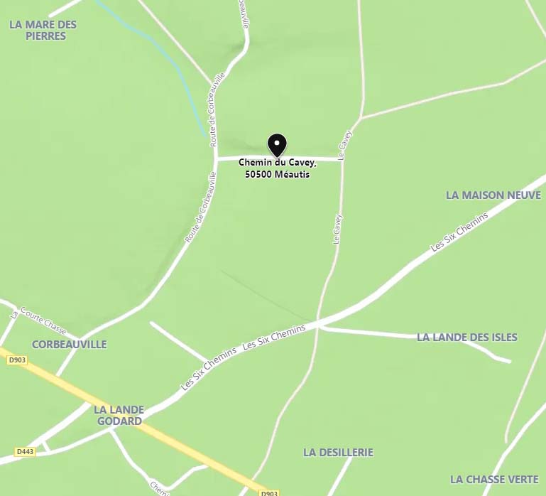
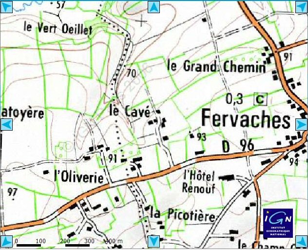
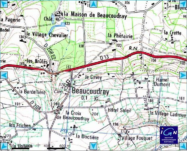
- Millieres (Manche - France) - Lieu dit « Hotel Cavey » [49°10'39.96"N , 1°26'58.83"W]
Note: in Basse-Normandie, there are many places named "Hôtel" which, in this case, means "at my home" (at my hoté). Often these places are of the form "Hotel + man's name". Read (in French) :
Principaux types toponymiques de la Normandie (Lechanteur Fernand. Principaux types toponymiques de la Normandie . In: Supplément aux Annales de Normandie. 4ᵉ année, n°1, 1954. L'histoire locale à l'école : Rollon. pp. 15-16).
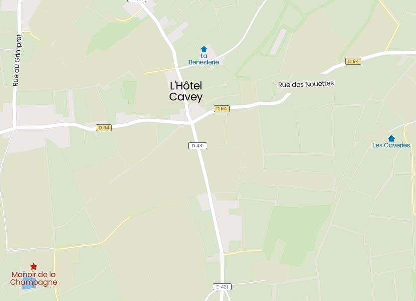
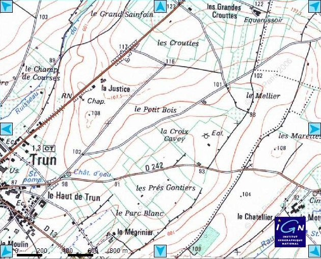
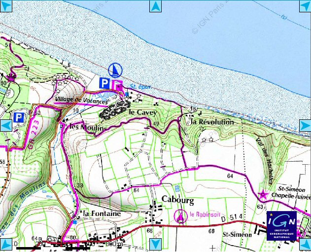
- There is a place whose name is "Le Cavey" [ 49°21'31.77"N , 0°50'24.42"W]. This place is in Colleville-sur-Mer in the Calvados !
This place host a sand yacht club, the address of whom is :
Eolia Normandie le Cavey / Omaha beach

          Établissement agréé

          Omaha Beach - Le Cavey

          14710 Colleville-sur-Mer
They have their own Web site : http://www.eolia-normandie.com/
- I have been told that there is also a Cavey Road in London WC1, however I am not sure of the spelling and have been unable to find it.
- There is a Cavey Lane in Woodbine (Maryland) named after Doris Cavey relatives' farm.
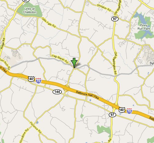
- This is a picture of an other Cavey Lane crossing Woodstock Road at Ellicott City (Maryland). The picture has been taken by Richard Cavey on April 1998 [39°19'32.15"N , 76°52'8.31"W].
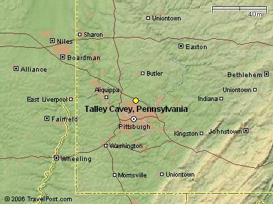
- Talley Cavey is a place in the Allegheny County (Pennsylvania - USA) [40°35'24.39"N , 79°56'51.19"W].
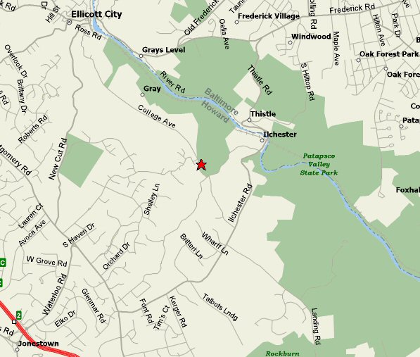
- Cavey cemetery in Maryland (Howard County) reported by Dorothy Cavey Kolodziejsk. The cementary is close to Patapsco Valley State Park and College Avenue, just in front of Doncaster Drive. It is quoted several times on this site [ 39°14'58.93"N , 76°46'33.46"W].
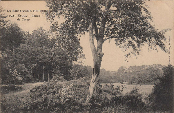
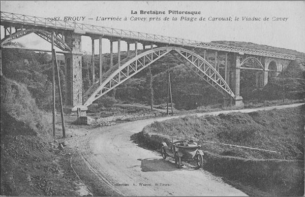
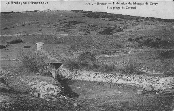
- Vallon de Cavey is a small valley, in Erquy (Brittany - France) at the edge of Caroual beach. I got several (about 25) postcards from there on Delcampe.net (see below). Today there is, in Caroual, a "rue de Cavé" [48°37'14.41 "N, 2°28'29.08 "W] and a rue du bois de Cavé in Erquy [ 48°37'35.05 "N, 2°27'53.56 "W] but the misspelling is recent: the name is correctly spelled on postcards printed at least until the Second World War. The Cavey viaduct is now called the Caroual viaduct. It is visible from the D34 (Route de Pléneuf) [48°37'12.45 "N, 2°28'14.20 "W] but the railway has been removed.
- A day, I was looking for Cavey's name on the web and I had the idea to use "My Yahoo" and to click on the Usenet radio-button. In this news-group I found some messages regarding our surname, but one of them was especially interesting : A David Powell was searching for a town whose name was 'Cavey' !
Here is the message he sent :
G'day all! Anyway, another request. Anyone know where I can find the town of Cavey, in Co Tyrone. I suspect it's near Ballygawley, but I can't find it on my maps. Thanks : David Powell.I searched for the answer and I found this reply from SeanRuand~ *{:-) (he signs like that). Sean is the Project Director of The IreAtlas Project (no less!)
Here is the reply :
Cavey is located in the Civil Parish of Errigal Keerogue near Clogher,TyroneAs I had no idea where the County of Tyrone should be, I asked both David and Sean :
In which country ? UK ? Ireland ? USA ? Elsewhere ?
Here is the reply from Sean :
Errigal Keerogue is a Civil Parish of approx. 21,000 acres located in the south-central part of County Tyrone, Northern Ireland.
Last but not least, Sean who visited Caveys' Family World Wide Society site, confirms what Ronald says (see The main debate) about the origins of the name for those of the Caveys who have their roots in Ireland.
But I was still unable to locate this small city... until I got an e-mail from Feargal O'Donnell who wrote me : Cavey is a small area near the town of Ballygawley. And then I found it on my map of Ireland ! Ballygawley is at the crossing of the highways A4 and A5. There is also a Cavey Road in this small city.
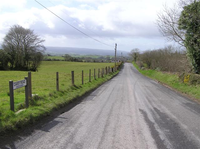
In July 2014, I have finaly discovered a Cavey Road 2.2 km (1.25 miles) north-west from Ballygawley, Dungannon, Dungannon and South Tyrone BT70, UK. I was still searching for a village of that name as said on this page but didn’t find it. Find a road instead at Knockonny Townland, Co. Tyrone (see above). The road is located north-west from Ballygawley as expected [54°27'47.19"N ; 7° 1'41.48"W].
- A mail from David Irwin
Here is a url for a map of the townlands of Errigal Keerogue. Cavey is one of those townlands comprising less than 300 acres and only 91 acres of arable land. About 9 families lived here in the mid 1800's. My family Irwin lived at the intersection of Cavey Rd. adn the Modern A5 Rd about 2 miles north of Ballygawley. It is Cavey Townland, Barony of Clogher, parish of Errigal Keerogue, County of Tyrone, Northern Ireland, formerly the Province of Ulster.
http://freepages.genealogy.rootsweb.ancestry.com/~tyrone/parishes/tl/errigal-keerogue_tl.html
-
I have received a mail from Des Donnelly :
I am an Irishman from Co. Tyrone (near Ballygawley) currently living in US and came across your post via google earth, here is a link to a little map of the townlands of Errigal Keerogue Parish which shows the location of Cavey townland...a townland is a small geographical unit of land, after that we had the field names nearly always in Irish but they have mostly been forgotten
http://freepages.genealogy.rootsweb.com/~tyrone/parishes/tl/errigal-keerogue_tl.html
Also since the townland is an old irish invention and the word base comes from Irish language Queen University in Belfast did a lot of research into the origin of the townland names...,
The only other Cavey I know in Tyrone is the placename Donacavey in Fintona [54°29'28.83"N , 7°19'41.28"W].
Regards
- There are also a Cavey Road in Monbulk, Victoria, Australia [37°52'46.69"S , 145°25'50.31"E] ; a Cavey Street, in Marrickville, New South Wales, Australia [33°54'47.88"S , 151° 9'24.47"E] ; a Cavey Road at Hanover, Maryland, United States [39°10'16.59"N , 76°44'22.53"W] ; a Cavey Crest Circle, Pennsylvanie, United Sates [40°35'22.11"N , 79°56'39.96"W], and probably many others...
Last update : Jun-20-2021 16:29:19 CEST

